
Newark Neighbors by Parcel
For a block question, use a source that matches the part of the question. Newark Online Tax supplies the current city account, block, lot, qualifier, and property-location fields. NJGIN provides parcel geometry and warns that owner names are redacted from its hosted parcel and tax-list services under Daniel’s Law. Essex PRESS can then locate a recorded instrument for one municipality, block, lot, and date range. None of these tools creates a complete roster of the people who live nearby.
| Block source | What it shows about the block | Access and limit |
|---|---|---|
| Newark Online Tax | Tax account, block, lot, qualifier, displayed owner field, and property location | Current municipal result; update year is not stated |
| NJGIN parcels | Parcel geometry, visible adjacencies, and block-and-lot context | Statewide map layer; owner names may be redacted |
| Essex PRESS | Recorded instrument parties and identifiers for a specific parcel | Online records stated from October 1, 1996; 90-day search windows |
| Official Newark ward map | Ward, voting district, block, parcel, and civic geography | Use the map date; it is not a title layer |
| NPL criss-cross directories | Historical names at an address by directory year | 1835 to 1964 collection; historical, not current |
Owners and occupants are not the same category. A displayed owner field can be a person or legal entity, a mailing address can differ from the situs, and a historic listing can predate a present-day household by many years. The reliable unit is the source record for one parcel, with its own date and privacy status.
Map Newark Neighbor Parcels
Parcel adjacency is a map relationship before it becomes a records search. Start with the target account and use the map geometry to identify lots that actually touch it. Do not guess from house numbers. A street number sequence can skip a parcel, cross a boundary, or conceal a different lot arrangement. Record each adjacent parcel separately so a later result cannot be accidentally attached to the wrong address.
- Search New Jersey Municipality Lookup with the full street address, Newark, New Jersey, and an optional ZIP to confirm the standardized address and municipality.
- Open Newark Online Tax and retain the target account, block, lot, qualifier, and property-location string.
- Use NJGIN parcel geometry or an official city map to identify visible adjoining parcels, then note the map source and date.
- Search every relevant neighboring parcel independently in the tax portal and, when needed, PRESS by municipality, block, and lot.
- Add ward or historic-district context only after the parcel identities are stable.
Keep a simple record trail: target parcel, adjacent parcel, map relationship, official source, source date, and privacy status. For a whole named street rather than the immediate block, use the Newark Street Directory workflow.
Newark Block Labels Differ
Ward, voting district, historic district, ZIP, neighborhood, and parcel are different layers. Newark’s five wards and voting districts are election geography. Forest Hill, North Broad Street, James Street Commons, Military Park Commons, Four Corners, Lincoln Park, and Weequahic Park are preservation or historic-geography labels. Names such as Ironbound, Roseville, Vailsburg, Fairmount, Lower Broadway, Belmont, Downtown, and University Heights are useful search terms when attributed to an official city historic-landmark or community source.
| Label | What it answers | Newark source |
|---|---|---|
| Account, block, lot, qualifier | The stable property key | Newark Tax and NJGIN |
| Street or situs | The address label used for the parcel | Newark Tax and Municipality Lookup |
| Ward or voting district | Election geography for a dated map | Official Newark ward map |
| Historic district | Preservation and history context | Official landmark-district PDF |
| ZIP | Postal-delivery clue | USPS live address lookup |
A street can cross a ward, ZIP, historic-district edge, or municipal boundary. When exact geography matters, preserve the map and access date instead of treating one label as a substitute for the others.
Civic Sources for Newark Neighbors
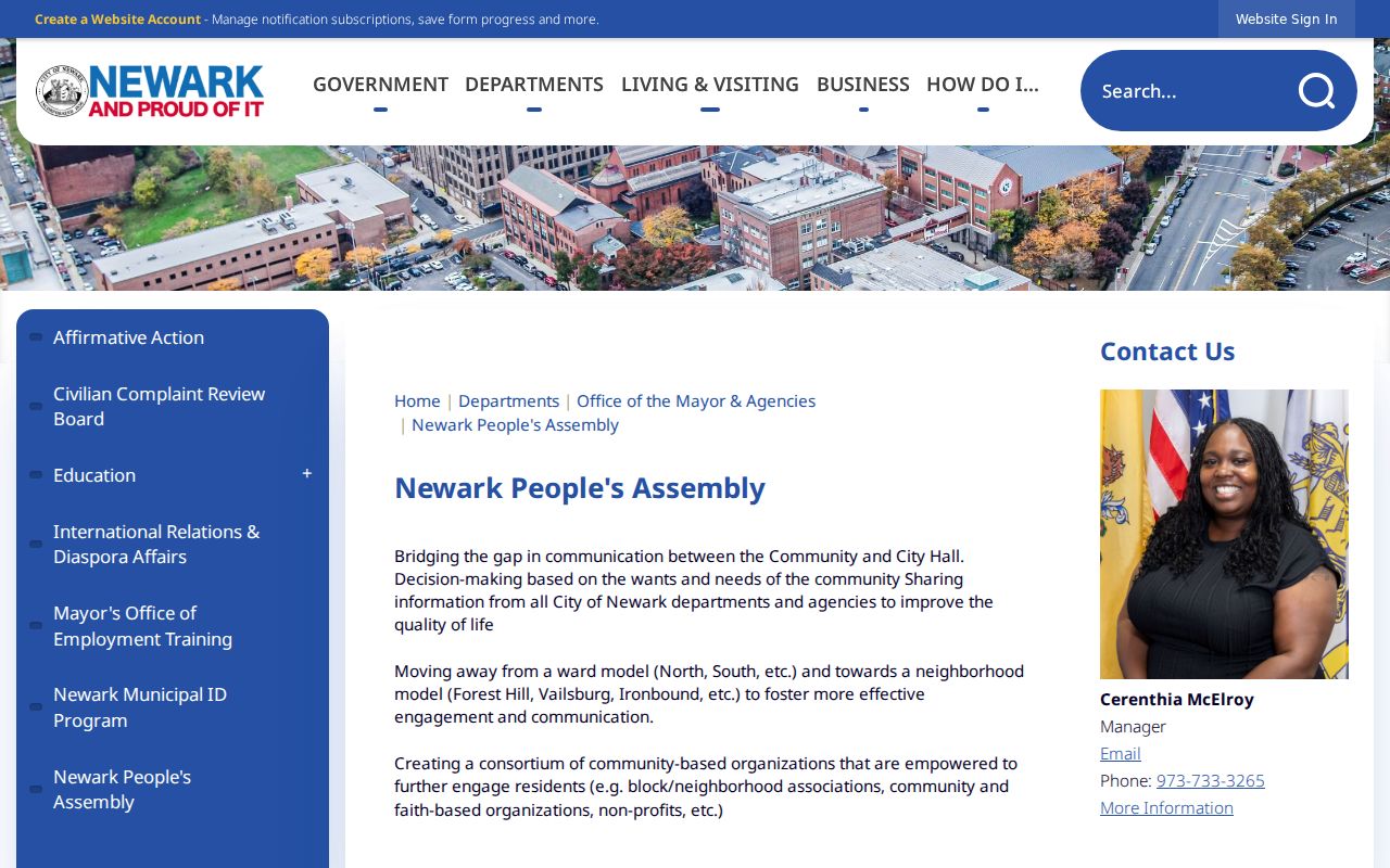
Public civic records add neighborhood context without converting a block into a social graph. Newark’s People’s Assembly uses a ward-to-neighborhood model and gives Forest Hill, Vailsburg, and Ironbound as examples. The city page lists 973-733-3265 for the program. A meeting or public organization record can document a community activity, but it does not establish who lives at every nearby address or who attended a particular event.
| Public civic route | Useful record | Do not infer |
|---|---|---|
| People’s Assembly | Ward-to-neighborhood civic framework and public program context | A roster of a block or meeting attendance |
| Past grantees | Named neighborhood and community organizations in city program records | That every nearby household belongs to the group |
| Newark resource directory | Public organization category, name, and contact route | Private contact information beyond an official role |
| Block-party application | A civic-event permit route, expected at least 21 days before an event | Attendance, approval, or neighborhood membership |
Newark’s People’s Assembly page describes the city’s neighborhood-focused participation model.
The public program material is most useful when it is labeled as civic context with its page date. It belongs beside, not in place of, the parcel and map records for a particular block.
Love Your Block Is Civic Context
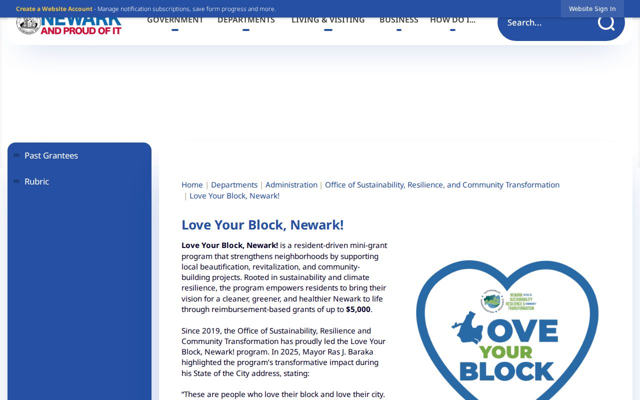
Love Your Block is Newark’s resident-driven mini-grant program. The program page describes grants up to $5,000 and 2026 grantee groupings in South, East, West, and Central Newark. Its public listings can be a useful lead for a neighborhood organization, a documented project, or a time period. They are grant and program records, not a directory of residents or a list of everyone associated with a block.
The official Love Your Block page shows the city’s public framing of resident-led block associations and community projects.
Use an organization name, source page, and page date in a research note. That keeps public community information distinct from personal address information and makes it possible to revisit the city source when a program changes.
Historical Newark Neighbors Need Dates
Historical neighbors are found through year-specific material, not a current parcel screen. The Newark Public Library’s digitized directories and telephone or criss-cross material cover 1835 through 1964. They can provide names at an address, but the entry must be read with its directory year, street spelling, publisher, and scan quality. A directory name is a historical address clue, not evidence that the person remains there.
For building and street context, use the Library of Congress Sanborn material, period atlases, ward maps, photographs, and the New Jersey Historical Society’s guides. If an old address does not geocode, search its period spelling, ward, block and lot, nearby streets, and the directory year. Do not force an old label into a current ZIP or assume a historic street match is a current resident match.
Official Newark Records and Tools
Official records answer limited questions with an identifiable custodian, a record date, and a route to verify or correct an error. Commercial neighbor-lookup tools can combine data from different dates and sources, but they may be incomplete or wrong and do not replace a parcel map, municipal account, or county instrument index. Use the category of tool only as a secondary lead, then return to the official source for the particular parcel or public civic record.
| Source category | Best use | Core limit |
|---|---|---|
| Official parcel, tax, and Register records | Parcel-specific identifiers, displayed fields, and recorded instruments | Does not list every person linked to an address |
| Official map and ward layers | Geometry, adjacency, and civic geography | Map proximity does not prove a personal relationship |
| Public community-program pages | Organization, grant, meeting, or civic-history context | Not a member or household roster |
| Commercial neighbor-lookup category | Possible lead to verify independently | May merge old, incomplete, or inaccurate data |
For every result, retain the actual source URL, access date, parcel identifier, and uncertainty note. A redacted owner field or an incomplete map layer is still a valid result and should be explained, not filled in from an unrelated source.
Privacy Limits for Newark Neighbors
Daniel’s Law can require a parcel or government result to suppress a covered public servant’s home address and related identifying information. NJGIN specifically warns that owner names are redacted from hosted parcel and tax-list data, map services, and applications. The New Jersey Address Confidentiality Program can provide an eligible participant with a legal substitute address and mail forwarding. A protected or empty field is a lawful privacy outcome, not a gap to overcome.
Never infer family, business, or personal relationships from adjacent ownership, a shared mailing address, a street location, or a same-name result. Utility and delivery records are not public block sources. When a source is wrong, protected, or unclear, preserve the custodian’s label and use the issuing office’s correction or privacy process.
Lawful use. Neighbor research is for personal, lawful map reading, civic history, and getting to know a block. Never use public records to watch, threaten, harass, or intimidate any person.